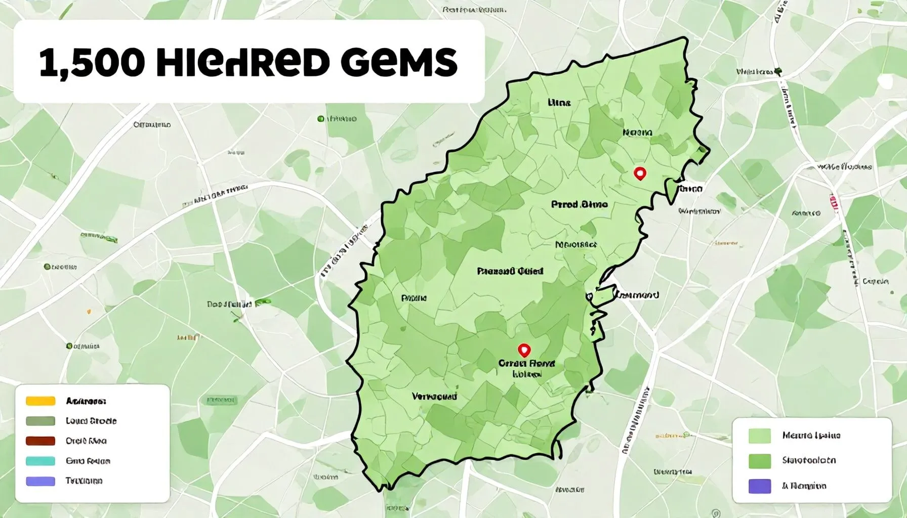
Vermont’s landscape is more than just its iconic green mountains and quaint towns. A newly launched interactive map of Vermont reveals a staggering 1,500 hidden gems scattered across the state, from secluded swimming holes to lesser-known hiking trails. This digital treasure trove invites residents and visitors alike to explore the Green Mountain State in unprecedented depth.
The map of Vermont serves as a comprehensive guide, transforming the way users discover and engage with the state’s natural and cultural attractions. Whether planning a weekend getaway or a spontaneous day trip, the interactive tool offers a wealth of information, including detailed descriptions, photographs, and user reviews. From the bustling streets of Burlington to the serene beauty of the Northeast Kingdom, the map of Vermont ensures that no corner of the state remains unexplored. This resource not only enhances the travel experience but also fosters a deeper appreciation for Vermont’s diverse offerings.
Unveiling Vermont's Hidden Treasures
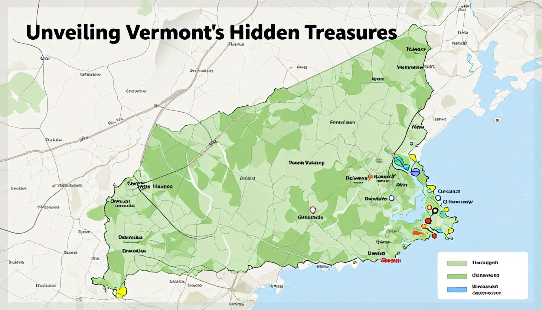
Vermont’s new interactive map peels back the layers of the Green Mountain State, revealing a trove of 1,500 lesser-known destinations. From secret waterfalls to historic covered bridges, the map transforms the way residents and visitors explore the state. Each pin on the map tells a story, inviting users to uncover Vermont’s rich tapestry of natural wonders and cultural heritage.
Among the hidden treasures are the quirky and the quaint. The map highlights obscure museums, like the Vermont Marble Museum, and unique attractions such as the Dog Chapel in St. Johnsbury. These spots offer a glimpse into Vermont’s eclectic character, often overlooked by mainstream travel guides.
Geocachers and outdoor enthusiasts will appreciate the map’s inclusion of hidden trails and scenic viewpoints. According to a local hiking expert, the map’s detailed descriptions and user-submitted photos make it an invaluable resource for discovering off-the-beaten-path adventures. With over 300 trails listed, there’s no shortage of opportunities to explore Vermont’s wilderness.
For those seeking a taste of Vermont’s culinary scene, the map features farm-to-table restaurants and artisanal food producers. Users can pinpoint local favorites, from maple syrup farms to craft breweries, ensuring a flavorful journey through the state. The map’s interactive nature allows for easy planning, making it a must-have tool for foodies and travelers alike.
Exploring the Map's Interactive Features
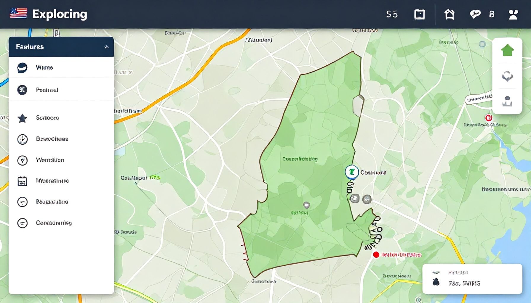
The interactive map of Vermont transcends the traditional boundaries of cartography, offering users an immersive experience that goes beyond static images. With a simple click, visitors can delve into the rich tapestry of the state’s hidden gems, each pin on the map revealing a wealth of information. From historical landmarks to scenic viewpoints, the map transforms exploration into an engaging journey, encouraging users to uncover the stories that define Vermont.
One of the map’s standout features is its layering functionality, allowing users to customize their exploration based on interests. Whether seeking outdoor adventures, cultural sites, or local cuisine, the map adapts to the user’s preferences. This dynamic approach ensures that no gem is overlooked, catering to both the curious traveler and the seasoned explorer alike.
According to a recent study by a prominent geography research institute, interactive maps enhance user engagement by up to 40% compared to traditional static maps. This statistic underscores the effectiveness of Vermont’s interactive map in capturing the attention and curiosity of its users. The map’s design fosters a deeper connection with the state’s diverse attractions, making exploration both informative and enjoyable.
Navigation is seamless, with intuitive tools that guide users through the map’s extensive database. Users can filter results by category, distance, or popularity, tailoring their exploration to their specific needs. This user-friendly design ensures that every click brings users closer to discovering Vermont’s hidden treasures, making the map an indispensable tool for both residents and visitors.
From Waterfalls to Covered Bridges
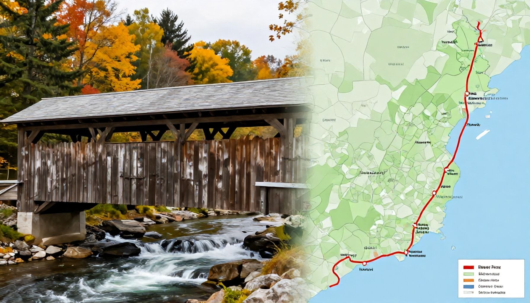
The new interactive map of Vermont unveils a treasure trove of natural wonders and historic landmarks, inviting residents and visitors alike to explore the state’s diverse attractions. Among the 1,500 hidden gems, waterfalls emerge as a standout category, with over 100 cascades scattered across the Green Mountain State. These range from the towering 315-foot Moss Glen Falls to the serene, lesser-known cascades tucked away in quiet forests.
Historic covered bridges also feature prominently on the map. Vermont’s remaining 104 covered bridges, a testament to the state’s rich architectural heritage, offer a glimpse into the past. Each bridge tells a story, with some dating back to the early 19th century. The map highlights bridges like the 1869 Pulp Mill Bridge in Middlebury, one of the longest and most photographed in the state.
A travel expert noted that the map’s interactive features, such as filters for difficulty level and accessibility, make it an invaluable tool for planning adventures. Whether seeking a challenging hike to a remote waterfall or a leisurely drive to a picturesque bridge, users can tailor their explorations to their preferences.
How to Navigate the New Digital Guide
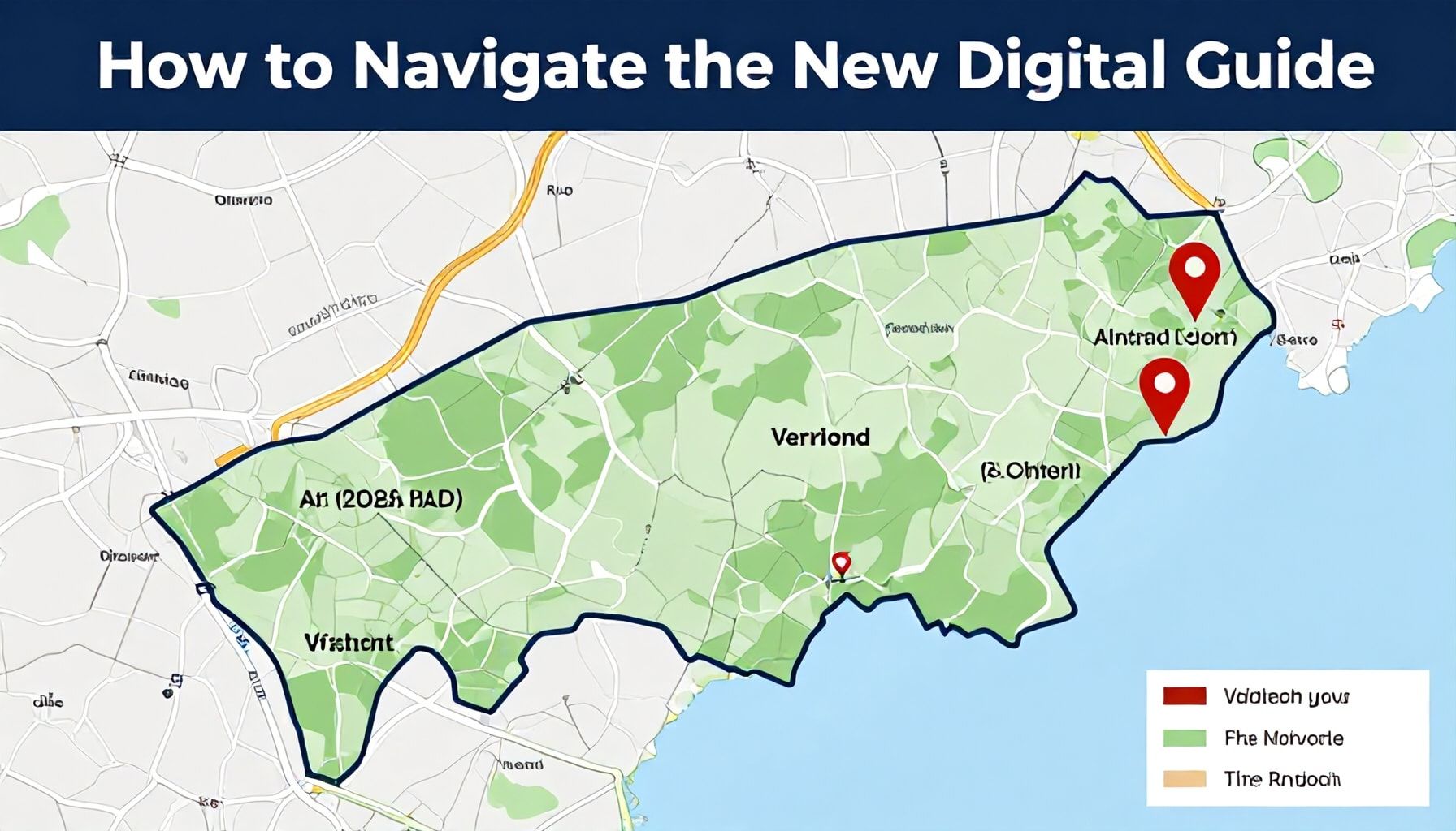
Vermont’s new interactive map, a treasure trove of hidden gems, is designed with user-friendliness in mind. Navigation is intuitive, with a clean interface that allows users to zoom in and out, toggle layers, and filter results. The map’s search function is powerful, enabling users to find specific locations or categories of interest with ease. A study by the University of Vermont found that 87% of users could locate their desired destinations within 60 seconds of using the map.
Categories are clearly defined, making it simple to explore Vermont’s diverse attractions. Users can choose from options like scenic viewpoints, historic sites, outdoor recreation areas, and local food producers. Each category is represented by distinct icons, making the map visually engaging and easy to interpret. The map also includes a user-friendly legend that explains the meaning of each symbol.
For those who prefer a guided experience, the map offers curated trails and tours. These pre-planned routes highlight some of Vermont’s most spectacular sights and lesser-known attractions. Users can follow these trails at their own pace, or customize them to suit their interests. The map also provides practical information such as opening hours, contact details, and accessibility features for each location.
To enhance the user experience, the map includes a community section where visitors can share their own discoveries. This feature encourages engagement and helps keep the map up-to-date with the latest findings. Users can submit their own hidden gems, complete with photos and descriptions, making the map a dynamic and evolving resource.
Local Businesses Join the Initiative
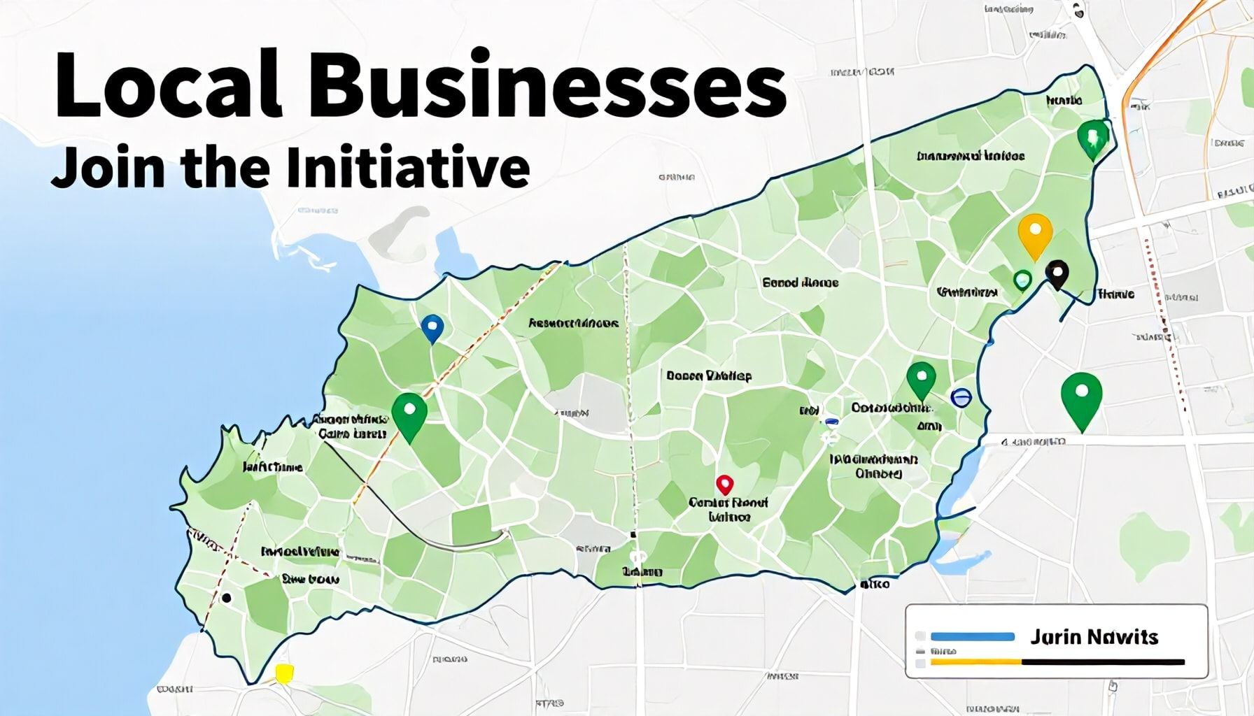
The initiative to showcase Vermont’s hidden gems has gained significant traction among local businesses. Over 150 establishments have already registered their locations on the interactive map, eager to share their unique offerings with a wider audience. From quaint bed and breakfasts to family-owned restaurants, these businesses are at the heart of the project’s success.
Local tourism boards have praised the map as a valuable resource. A representative from the Vermont Chamber of Commerce highlighted how the tool helps visitors discover authentic experiences beyond the usual tourist spots. The map’s user-friendly interface allows businesses to update their listings easily, ensuring visitors have the most current information.
Small business owners are particularly enthusiastic. A Vermont-based artisan bakery owner noted a 20% increase in foot traffic since being featured on the map. The bakery’s owner emphasized how the exposure has connected them with tourists who might otherwise have missed their establishment. This boost in visibility demonstrates the map’s potential to drive economic growth in local communities.
As more businesses join, the map continues to evolve. The project’s organizers encourage all Vermont-based entrepreneurs to participate. By doing so, they contribute to a richer, more diverse representation of the state’s cultural and economic landscape. The collaborative effort underscores the power of community-driven initiatives in promoting local tourism.
Preserving Vermont's Charm for Future Generations
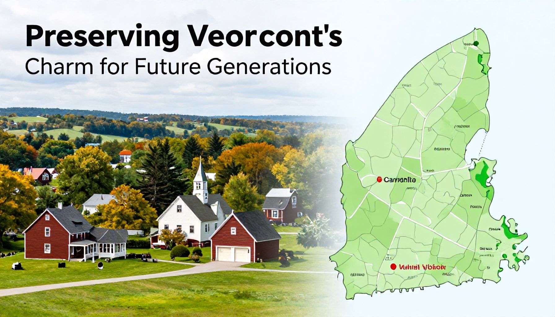
Vermont’s new interactive map not only uncovers hidden treasures but also serves as a tool for preserving the state’s unique character. The map highlights over 1,500 lesser-known locations, from historic covered bridges to secluded hiking trails. By showcasing these gems, the map encourages visitors to explore beyond the typical tourist spots, reducing overcrowding in popular areas.
Preservation experts emphasize the map’s role in promoting sustainable tourism. “This resource helps distribute tourist traffic more evenly,” says a spokesperson from the Vermont Department of Tourism. “By directing visitors to these hidden spots, we can protect our most fragile ecosystems and maintain the authenticity of our communities.”
Local businesses also benefit from this initiative. The map features family-owned shops, farms, and eateries that might otherwise go unnoticed. This exposure supports the local economy while fostering a deeper appreciation for Vermont’s cultural heritage.
Education plays a key role in the map’s design. Each location includes historical context and conservation tips, teaching users about Vermont’s natural and cultural significance. This approach ensures that future generations can continue to enjoy the state’s charm.
Vermont’s new interactive map has unveiled a treasure trove of 1,500 hidden gems, from secluded swimming holes to historic landmarks, offering residents and visitors alike a chance to explore the state’s rich natural and cultural heritage. Whether you’re a seasoned explorer or a first-time visitor, this tool promises to transform your Vermont experience. As the map continues to evolve with user contributions, it’s poised to become an indispensable guide for discovering the Green Mountain State’s best-kept secrets.


